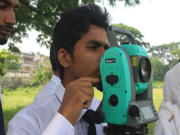
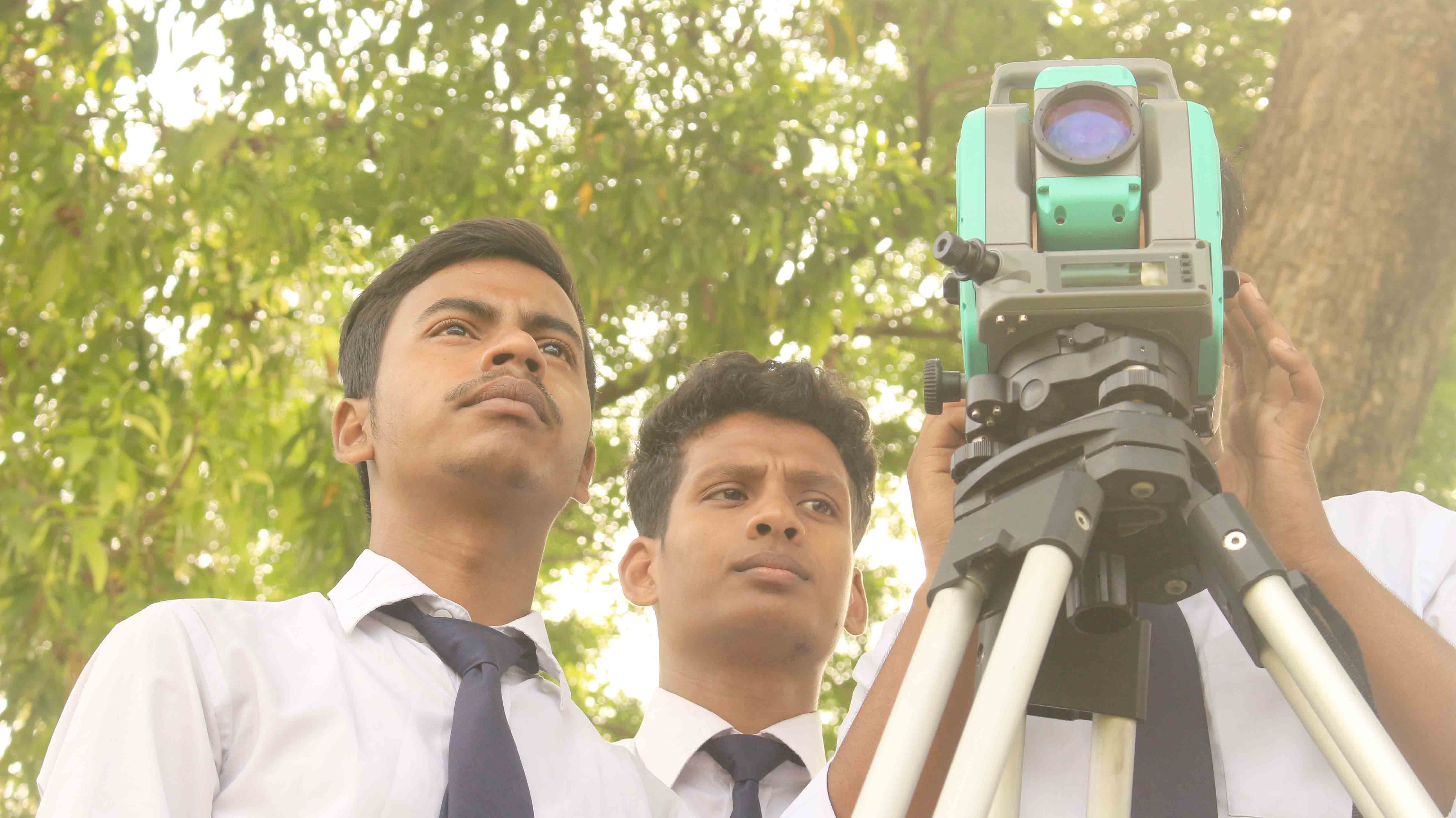
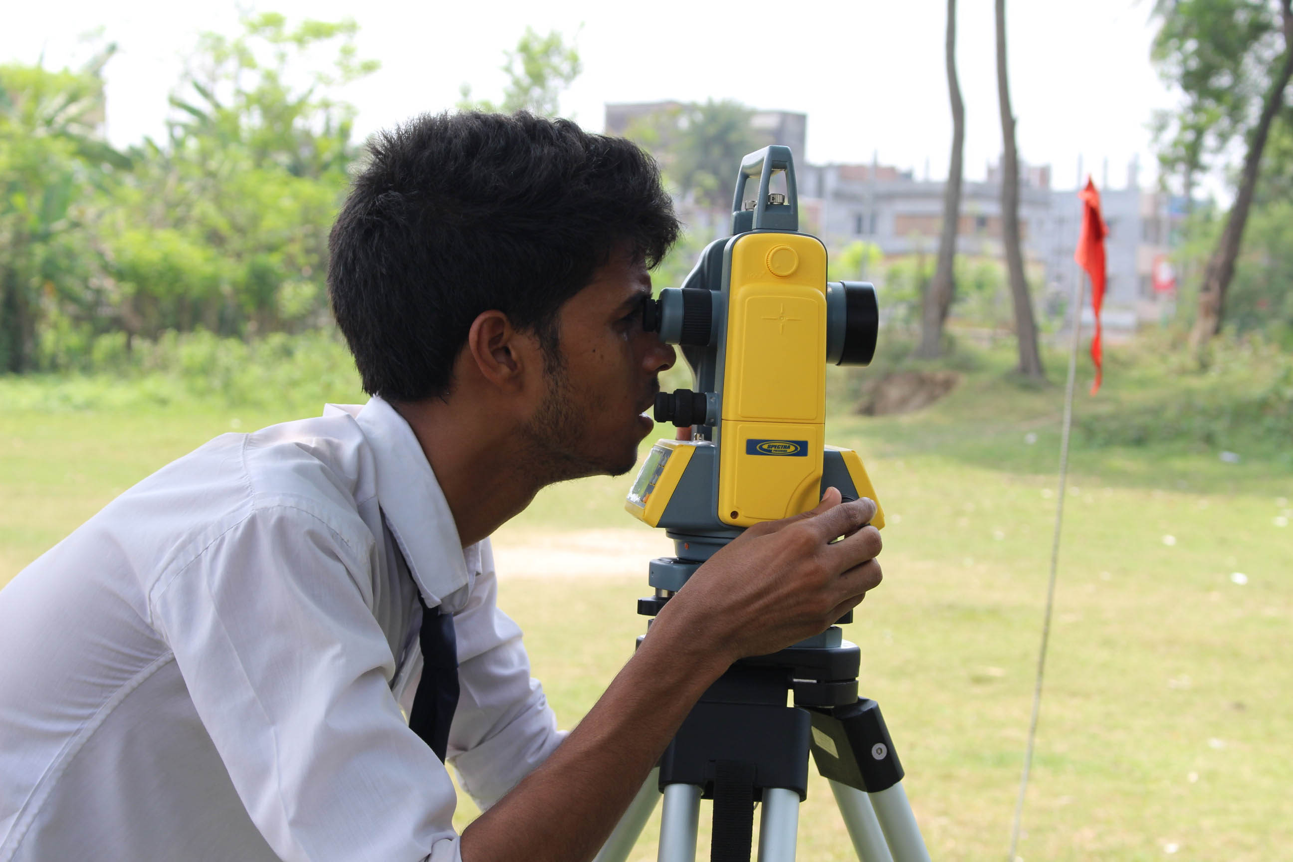
Survey engineers measure the shape and contours of terrain above ground and under water to ensure the accuracy of maps and boundary markers. Their measurements are used to plan roadways and tunnels, build pipelines and bridges, track the movement of pollutants in waterways and determine ocean floor erosion rates after storms and earthquakes. Survey engineers often specialize; a forensics surveyor may reconstruct a traffic accident by analyzing skid marks and road angles, while a hydrographic surveyor may search for fault lines as part of an offshore crew. Many work in the field, collecting information while others are based in an office, analyzing data. They are employed by private engineering or surveying firms, government agencies and municipalities, or as independent consultants. Survey engineers must be detail-oriented and analytical, with strong math skills and a working knowledge of related disciplines, such as geology, photogrammetry, and Global Positioning Systems (GPS) and Geographic Information Systems (GIS) technology. An understanding of land-use management principles and the legal aspects of surveying is essential. Surveyors must be computer proficient and familiar with current hardware and software used in their specialized field. They need good communication skills and the ability to work independently and as part of a team. Surveyors who work outdoors should be able to stand for long periods of time, climb, hike and carry heavy equipment.
সার্ভেয়িং ইঞ্জিনিয়াররা মানচিত্র এবং সীমানা চিহ্নিতকারীগুলির যথার্থতা নিশ্চিত করার জন্য ভূগর্ভস্থ এবং জলের নীচে ভূখণ্ডের আকৃতি এবং রূপগুলি পরিমাপ করে। তাদের পরিমাপটি রোডওয়ে এবং টানেলগুলির পরিকল্পনা করতে, পাইপলাইন এবং সেতুগুলি তৈরি করতে, নৌপথে দূষণকারীদের চলাচল সনাক্ত করতে এবং ঝড় এবং ভূমিকম্পের পরে সমুদ্রের তল ক্ষয়ের হার নির্ধারণ করতে ব্যবহৃত হয়। জরিপ ইঞ্জিনিয়াররা প্রায়শই বিশেষজ্ঞ হন; একজন ফরেনসিক জরিপকারী স্কিড চিহ্ন এবং রাস্তার কোণগুলি বিশ্লেষণ করে একটি ট্র্যাফিক দুর্ঘটনার পুনর্গঠন করতে পারে, যখন একটি হাইড্রোগ্রাফিক জরিপকারী একটি অফশোর ক্রুর অংশ হিসাবে ফল্ট লাইনের সন্ধান করতে পারে। অনেকে মাঠে কাজ করেন, তথ্য সংগ্রহ করেন অন্যরা কোনও অফিসে থাকেন, ডেটা বিশ্লেষণ করেন। তারা বেসরকারী প্রকৌশল বা জরিপ সংস্থা, সরকারী সংস্থা এবং পৌরসভা, বা স্বতন্ত্র পরামর্শদাতা হিসাবে নিযুক্ত হয়। জরিপ ইঞ্জিনিয়ারদের অবশ্যই বিশিষ্ট গণিত দক্ষতা এবং ভূ-তত্ত্ব, ফটোগ্রাটমেট্রি এবং গ্লোবাল পজিশনিং সিস্টেমস (জিপিএস) এবং ভৌগলিক তথ্য সিস্টেম (জিআইএস) প্রযুক্তি সম্পর্কিত সম্পর্কিত শাখাগুলির একটি কার্যকরী জ্ঞান সহ বিশদ বিশিষ্ট এবং বিশ্লেষণী হতে হবে। ভূমি-ব্যবহার পরিচালনার নীতিগুলি এবং সমীক্ষার আইনি দিকগুলি বোঝা জরুরি। জরিপকারীদের অবশ্যই কম্পিউটার দক্ষ এবং তাদের বিশেষ ক্ষেত্রগুলিতে ব্যবহৃত হার্ডওয়্যার এবং সফ্টওয়্যারগুলির সাথে পরিচিত হতে হবে। তাদের ভাল যোগাযোগ দক্ষতা এবং স্বতন্ত্রভাবে এবং একটি দলের অংশ হিসাবে কাজ করার দক্ষতা প্রয়োজন। যে সমীক্ষকরা বাইরে বাইরে কাজ করেন তাদের দীর্ঘ সময় ধরে দাঁড়াতে, চড়তে, চলাচল করতে এবং ভারী সরঞ্জাম বহন করতে সক্ষম হওয়া উচিত।