
Surveying Technology is a vital branch of engineering focused on measuring and mapping the physical features of the Earth to support construction, land development, and infrastructure projects. The 4-year Diploma-in-Engineering in Surveying Technology prepares students with the knowledge and skills to accurately gather, analyze, and interpret spatial data essential for planning and executing engineering works.
This program combines theoretical instruction with hands-on training using modern surveying instruments and techniques, ensuring graduates can meet the demands of land surveying, topographic mapping, and geospatial data management.
Key Learning Areas:
- Fundamentals of Surveying – Principles and types of surveying, including chain, compass, and plane table surveying.
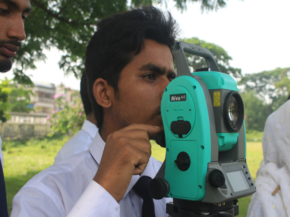
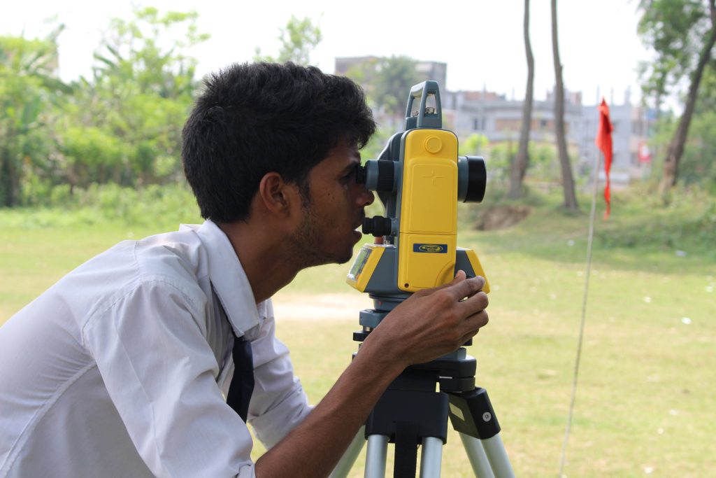
- Distance and Angle Measurement – Techniques using tapes, EDM (Electronic Distance Measurement), theodolites, and total stations.
- Levelling and Contouring – Methods for determining elevations and creating contour maps.
- Geodetic Surveying – Understanding earth curvature and large-scale survey methods.
- Topographic Surveying & Mapping – Creating detailed maps for construction and planning.
- Land and Cadastral Surveying – Legal aspects and techniques for property boundary identification.
- GPS & GIS Technology – Using satellite systems and Geographic Information Systems for modern surveying.
- Remote Sensing – Collecting data from aerial and satellite imagery for analysis.
- Survey Data Processing & CAD – Computer-aided drafting and data analysis for survey projects.
Career Opportunities:
Graduates of Surveying Technology can work as:
- Surveyor / Chainman
- GPS & GIS Technician
- Mapping & Cartography Specialist
- Construction Survey Technician
- Land Records Officer
- Remote Sensing Analyst
- Cadastral Surveyor
They can find employment in construction companies, government land departments, urban planning agencies, real estate firms, environmental consultancies, and geographic information service providers. Skilled surveyors are also essential for large infrastructure projects like roads, bridges, and dams.
Why Choose Surveying Technology?
Surveying Technology is the foundation of all civil engineering and construction activities. It offers a specialized career path with a blend of fieldwork and technical analysis. As infrastructure development accelerates in Bangladesh and worldwide, skilled surveying professionals will continue to play a crucial role in shaping sustainable and efficient environments.
Number of Credit: 160